But I have another reference point from my back road explorations yesterday. This is about 7 straight-line miles downstream from the Vince Smith Bridge. That's probably at least twice that many river miles. This is along Taylor Road. Point #3 on the map.

Here is point #2 on the map. You've seen this in every season because this is where the North Country Trail crosses the river.
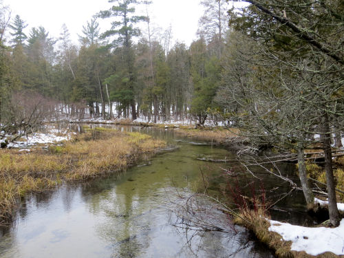
And this is the headwaters at point #1 on the map. From here, oddly, the river flows north and goes around a loop before heading south and west.

I left the map large, so you can click it to see things better.

I can see that there are a couple of small bridges between points 2 and 3. Guess I'll need a river exploration day!
I worked really hard today- editing and then on the book. I got some formatting cleaned up and did my 100 miles of campsites.
 | See At the Vince Smith Bridge
See Snow on Big Sable Headwaters |

