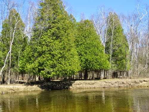
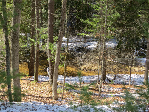
The best feature of this section of trail is Pine Creek.

The sun came out, and with a sandy bed the creek looked golden.
A fallen tree with roots washed bare seemed artistic.

A lovely bed of Norhern Ground Cedar accented with Reindeer Moss.

We returned to Udell and ate lunch. Loren had enough, but I went in the other direction. By now, almost all the snow was melted away. The air was crisp and the temperature stayed in the 30s, but it was nice for walking.
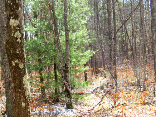
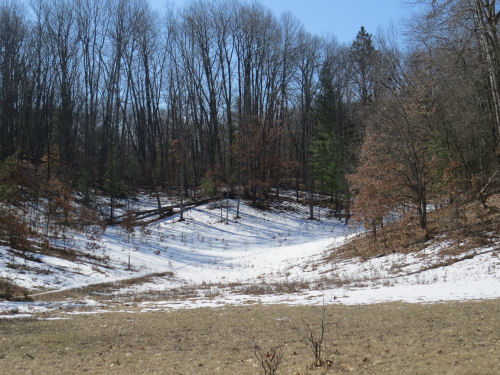
This section is much hillier. These are called the Udell Hills, and that's where the trailhead gets its name. My plan was to go outbound on the NCT until the place where it is closest to the Shanty Boy trail that is part of the Big M system. Here's where I bushwhacked across. I'm standing on the NCT looking north. I think the far line of hills is on the north side of the Manistee River. But all I had to do was drop down the hill- you can see the edge practically at my feet- (carefully) to reach Shanty Boy at the bottom.
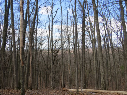
Easily found the other trail and headed back to the junction with the NCT that I had passed earlier. One very very cool thing is that this is a piece of local trail I've never seen before. The outer loop at Big M is about 25 miles long. It's primarily for mountain bikes, although hiking is allowed. I need to get out there and do an overnight to see all of that loop! Anyway, Here is part of the Shanty Boy Trail

One interesting feature was a big glacial erratic boulder. These are not very common here. We mostly jut have sand, and this one is huge for our area.

Anyway, my afternoon hike would make a nice loop for a group as long as they didn't mind the steep descent from the NCT to Shanty Boy. Fun stuff! My total for the day, 10.3 miles.
North Country Trail miles for 2021 is at 155.
In other news: I'm doing a little work on a web site, but the hiking took most of the day.
 | See MNF Challenge Hike #11 |




 I loved this fallen tree, and the green light
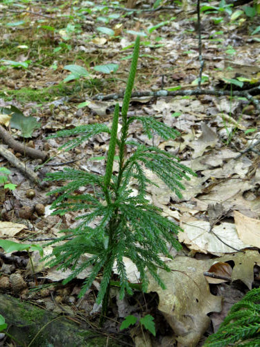
 There were several kinds of club mosses. This is tree clubmoss, sometimes called princess pine, and various other names. It also has several scientific names, since the DNA testing is rearranging all of these genera. It used to be Lycopodium obscurum. I like this picture because I got the strobilus (the thing at the tip where its spores are produced)
 The bog is within Urbana State Forest, and this particular area used to be a homestead. Here is part of the house foundation. You can just see some layered stones making part of a basement wall.
 The barn foundation is better preserved. It was a bank barn, and here you can see the lower wall in the foreground, and the wall that was beneath the bank in the background.
 Distance walked- at least 5 miles, but again, there was lots of wandering, and exploring, and back and forthing. I tightened up my knowledge of a few ferns, and hope to begin to learn how to tell shagbark from bitternut hickory when I compare my pix with the field guide tomorrow.