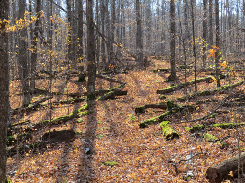
And within the Forest, we walked through the Rainbow Lake Wilderness.
What's that all about? you might ask. Wilderness is a word that to many people simply means a fairly unpopulated region with some woods and lakes. A better word for this might be "backcountry." Then there are places that use the word "wilderness" rather loosely. In Michigan there is Wilderness State Park and Porcupine Mountain Wilderness State Park. Neither of these is a wilderness.
In 1964, the Wilderness Act was passed. This created federally designated wilderness areas which have a special set of laws to preserve them from the effects of human activity. There are now over 111 million acres protected under the act. Most are in Alaska, or the continental West. Certainly, the most famous one through which the North Country Trail passes is the Boundary Waters Canoe Area Wilderness. (the Kekekabic and Border Route trails)
Wilderness is protected from all motorized or wheeled vehicles (even canoe dollies) and motorboats. Trails may be maintained, but no power tools may be used. Good old crosscut saws to the rescue. There is a minimum of signage allowed. No development, mining, commercial enterprises, or roads are allowed. However, areas may be designated as wilderness that show the effects of previous human activity. This is certainly true in most eastern wilderness areas.
At any rate, the NCT passes through the BWCAW, the Rainbow Lake and Porcupine Lake Wildernesses within the Chequamegon, the McCormick Wilderness in the Ottawa NF in Michigan, (and perhaps some day through the Rock River Canyon Wilderness- where the Eben Ice Caves are). There are Wilderness areas in the Adirondacks that have many of the same regulations, but these were designated under the Forever Wild Act of New York State in 1894 and are not part of the Federal Wilderness program.
The two small Wilderness Areas in the Chequamegon show heavy past use. The trail through Rainbow Lake Wilderness is largely on grades of old narrow gauge logging railroads. A term applied to Wilderness areas is "self-willed," which basically means that no matter what their past use, they will now be allowed to change in whatever ways happen naturally. The moss is winning in this section, protected since 1975.
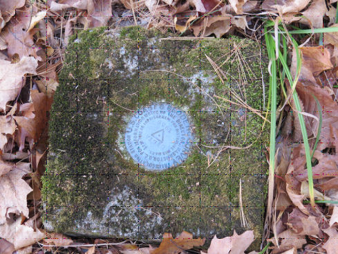
When I hiked this before, in 1996 (and a few pieces since then at NCTA conferences or meetings), I had never known that there was a fire tower site. Now, it's marked on the map. Bill and I went to the top of the hill and found the survey marker. We also saw what may have been the tower keeper's house location, or perhaps just a garage. The structure has been removed, but there was a very square depression.
There are quite a few beautiful small lakes in this wilderness. Rainbow Lake is one of them, but this is Reynard Lake.
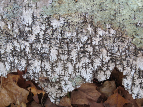
Here's today's artsy picture.
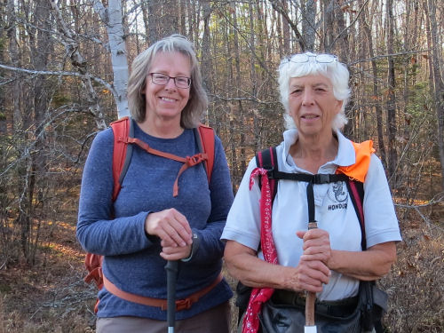
Joyce, a member of the Chequamegon Chapter, came out to hike with us in the afternoon.
Miles today: 15.5. Total miles so far: 3869.2.
 | See Rockin' the Hikin' |


1 comment:
Your artsy picture almost looks like a painting
Post a Comment