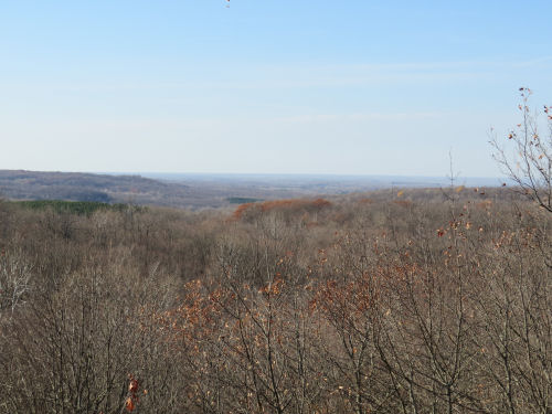
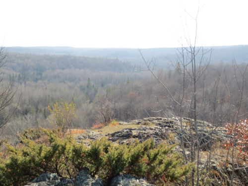
Where the trail crosses, the Marengo River is not yet very big. Its headwaters are within the forest. However, it becomes a major tributary of the Bad River which flows to Lake Superior.
The valley is a broad glacial valley that scoured out the pre-existing valley of the Mid-Continental Rift. The exposed older volcanic rock appears as surprising cliffs as you approach the river.
This is the view from another overlook that looks more upstream. It's surprising to find such rugged terrain and views in northern Wisconsin. Yes, we descended into the valley and then climbed out again.
Other features today included Porcupine Lake, looking serene in early light as we began hiking.
The Long Mile lookout tower is still standing. There were once 14 fire towers in the Chequamegon. Most are no longer standing. You could see a long way, but the views were into the sun, so I didn't get any good pictures.
Another cultural feature is the remains of a Swedish settlement. There are a few foundations, and some stone piles. This is the foundation of a barn on the Welin Homestead. The area was settled in the 1880s, but I couldn't find anything about how long it lasted. Into the early 1900s for sure. The soil was so marginal that most of the men became loggers, leaving the women to care for the farms during the winter when logging was done.
Even though we had to go down and up the valley, there was less overall elevation gain today than yesterday. We finished in good time and were treated to dinner by another trail couple.
Miles today: 14.1. (plus just over another mile of spurs to get to all the overlooks) Total miles so far: 3898.3.
 | See Chequamegon Day 2 |


3 comments:
Wow, it's gorgeous there.
Lulu: "Porcupine Lake? Uhhhh, maybe I'll stay away from that one ... Happy Halloween!"
Ann- it is.
Lulu- I think the lake is safe, you can just skip the mammals
Post a Comment