We made ourselves all kinds of promises about not doing anything stupid since it's winter, and we only had about 90 minutes between when she finished work and dark. As it turned out, many people have been hiking that trail since we had snow last Friday, so we were easily able to find where others had walked. These trails are all "unofficial," so there are no markings.
We came to this cut in the hill. You can see trail going fairly straight on the next hill. There were also trails going right and left in the valley. We chose left, going pretty much north. We were nominally attempting to connect to a trail we know goes along the south edge of Hamlin Lake. But, we were willing to go where the adventure took us, up to a cautious limit.

We had agreed on a turn-around time. At exactly that time... we reached Hamlin Lake!

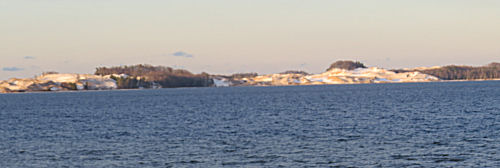
What fun! This is a view I've never seen before. OK, I've been close to here at Inspiration Point, but not EXACTLY here.
The sand dunes across the way look quite alien!

Directly below us, the wind is churning the soft ice into pancake ice, although the "plates" haven't separated yet.

What should we do? Go back the way we came or take the trail that climbed up a ridge heading west? West would take us back to connect with the trail we took last week. I thought we might even have found the extension of the trail that goes past Inspiration Point. The sun was getting lower. We had about 45 minutes of light left. You know I took the "new" route, heading west. It soon turned away from the lake, so we knew it wasn't going to Inspiration Point.
But what scenery! The wooded dunes are high and steep-sided. This is one of the prettiest routes in the whole park! My pictures today don't do it justice. This shot shows one valley, and also that the low light is starting to make the trees glow. We still don't know where this trail is going to dump us, but it has turned south, which is good. As long as we make it back to the road the car is parked on, who cares?

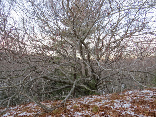
The trail wandered and wandered along the top of a ridge. This big beech tree is growing on the side of the hill, but the hill is so steep it looks like it's practically buried.

We'd been going south for quite a while and still wondering where we'd come out. We had to cross either the usual trail, or the one we'd headed north on. Sure enough. We came to the top of the hill on the north side of the cut in the second picture above. That trail wasn't visible when we were down in the cut.

Just another ten minutes and we were back at the car with exactly enough time to hustle out to "First Curve," a parking area along Lake Michigan, to catch the sunset.

This was SO awesome. And we can explore those other junctions another day. I definitely want to do this route in other seasons. We probably walked between 4 and 4.5 miles. We move right along, the only place we dallied was when we got to the view of Hamlin Lake.
In other news: I wrote a chapter this morning and did a few odds and ends.
Ludington State Park, Mason County, MI. Piney Ridge Road to Hamlin Lake and back, about 4.5 miles
 | See One Day, Two Hikes |
3 comments:
How fun. Looks like some great views there. That hill looks pretty steep at the end there
Beautiful sunset pic. Nothing like the joy of a new adventure.
Ann- that dune ridge is very steep. Glad we weren't hiking across it.
Chuck- Nothing!
Post a Comment