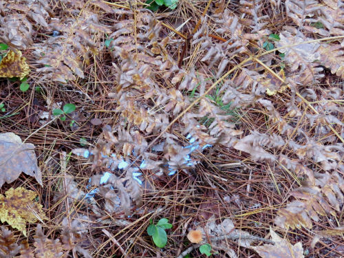
The primary reason I am over in the middle of the state is for the Michigan Outdoor Writer's Association Conference. For my morning activity, I chose to go to the Pigeon River Country Discovery Center. Pigeon River Country State Forest is the largest single piece of state-owned land in Michigan. It is the home of Michigan's elk herd, established in 1918. There are now about 1000 animals. The Woodland Elk went extinct, so all re-established herds in the east are Rocky Mountain Elk. Because of the elk the management of the forest is more strict, and recreational uses are primarily quiet ones.
Near the headquarters, they have turned a former CCC building into the Discovery Center which is all about interpretation.
It is pretty large for a residence because it initially housed CCC crews.

This room was used as an office after the CCC left, and the building was then used as both the home and the office of the manager. Here is it set up as it might have looked in the 1930s.

Right in back of the building, and defining the entire forest is the Pigeon River. It was so named because Passenger Pigeons nested along the banks. It flows north and eventually into Lake Huron.

After we toured the building (lots of interpretive stuff, but I'm trying to keep this post a reasonable length) the guide took us to see one of the nearby small sinkhole lakes. Northeastern lower Michigan has a limestone layer. These lakes form when the middle of the limestone erodes away to form a cave, and then the top of the cave collapses. They are very round, deep and are characterized by this aqua green color. This is Section Four Sinkhole where we were able to walk right down to the shore.

Then we went to a place called Inspiration Point which has the best vista in the forest. The reason I chose the link at the end of this post today is becase it's my one point of orientation in this area. When I hiked the Midland to Mackinac Trail in 2018, it goes through this forest. If you can just see a small triangle of blue to the right of center in this photo, that is the Cornwall Flooding (a small lake). The M2M Trail follows the far bank along the dam.
At the link below you can see the lake and Sue and me eating lunch at that spot.

After that, there was some free time before the evening activities started. I chose to do some hiking (big surprise, eh?). I tried the Watchtower Man's Trail. I was warned that it hadn't yet been cleared. We are at the heart of the damaged area from the ice storm earlier this year. I thought I'd see how bad it was. I got 0.5 miles on that trail before I turned around. I wasn't going to have time to do the whole loop
When I got back to my car, I went on a piece of the Shingle Mill Pathway that had been cleared. Much nicer hiking, although the tough stuff was good practice for June. It was also part of the High Country Pathway. I've now down infinitesimal pieces of both those trails.

The evening had time for networking, a nice dinner, and two speakers. The first was about the Family Forest Carbon Program that is working to allow smaller pieces of property to be used for Carbon Banking.
The keynote speaker was Scott Whitcomb who is the Public Lands Director with the Michigan DNR. He spoke anout several topics having to do with Michigan Public Lands. Tons of good information.
Total hiking about 3.5 miles. Miles hiked in 2025: 171.6
 | See Midland to Mackinac- Day 19 |