We again have internet because we went somewhere to eat. We fishished the Trap Hills on Thursday with a day that was still hillier than we expected. This picture really shows what they are like. The area has a long line of crenelated cliffs with bare rock on the face of most of them. You can see the last one from where I stood to take this picture. In between the views the trail goes way back into the forest, and drops down to the low spot between the cliffs before climbing back up.
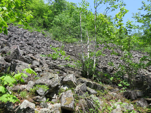
This is a unique space where the trail crosses a talus slope. Trail volunteers moved the rocks to make a fairly smooth path across the slope. (Mostly a man named Doug Welker).
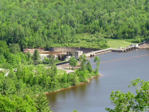
At the end of the day, we dropped down to Victoria, where the Victoria Dam creates an impoundment of the West Branch of the Ontanogan River.
We saw several interesting plants, but I'll have to share them another day. I want to get them right, and we are running out of time right now.
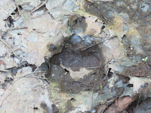
We did see moose tracks. The picture isn't great, but that's what it is.
Everything is going well, but I'll have to catch up the next post another day. It was hot today, and we are all tired.
Miles today: 9.8. Total miles so far: 4740.8.
 | See More Trap Hills |


2 comments:
Beautiful scenery! I had no idea that Michigan had "talus slopes.! Thank you so much for sharing.
Ellie- not many! But some near Marquette, and these.
Ann- fortunately the talus is short
Post a Comment