Entries to Win Afghan

Sign up to receive the Books Leaving Footprints Newsletter. Comes out occasionally. No spam. No list swapping. Just email me! jhyshark@gmail.com Previous gifts include a short story, a poem, and coupons. Add your name, and don't miss out!

Thursday, November 3, 2022

Michigan! - Day 338

  It was a beautiful day...
blue sky day

... to walk to Michigan! This was on the road crossing sign at the end of the day yesterday.
hiker by michigan sign

Today was all road walk, although several miles were soft surfaced woods roads. But this allowed us to hike really fast. At our second break stop there was a bar/restaurant. We stopped and celebrated with cold drinks and a bag of Combos. Pretty basic celebration, but it made me exceptionally happy. Hey- when a cold drink tastes good in November, it's a winner, right?

Just a few more miles and we got a glimpse of Lake Superior. Haven't seen Gitchee-Gumee since Minnesota.
glimpse of Lake Superior

Here it is! What a perfect day to see the "shining big-sea waters."
Lake Superior

Only two more miles. Nuts. Michigan didn't have a welcome sign on this road. But Wisconsin did. Bill has now completed all the Wisconsin NCT miles, his first NCT state he can cross off (although he's really close on Michigan and Ohio, but those are the two biggest mileage states). He had walked the western half previously. We've been together for the eastern half of the state.
Goodbye Wisconsin

This was hilarious. Right below the sign someone had discarded a pair of hiking boots. Or perhaps Bill had a ghost walker shadowing him all the way.
boots walking

Just a few more steps and we reached the middle of the bridge over the Montreal River, the border between Michigan and Wisconsin.
woman on bridge with river

Bonus Section: the westernmost point in Michigan

Bill then took me down to a park where you can get to the westernmost point in Michigan. It's not on the trail, but it was so close he said we had to see it. That point of land that sticks into the water from the right side of the picture is it. This is at the mouth of the Montreal River.
west point of Michigan

And here I am with Wisconsin behind me. I guess that's appropriate!
western point in Michigan

Miles today: 16.9. Total miles so far: 3962.3.

See It's All New to Me

Wednesday, November 2, 2022

It's All New to Me - Day 337

  Today's hiking was 100 % off road, and 100 % new since I was last here. In fact, about 3 miles near the beginning are so new that they aren't really open yet. However, we were given good maps and advance info. The big challenge of the section, and of the day, was that we had to wade Tyler Forks. Yes, this is the smaller river from yesterday with all the waterfalls and fast water. Here, it is barely moving, but it was a little deeper than might be comfortable. Bill went across first.
wading Tyler Forks

I'm shorter, but we both made it safely across. The DNR is going to build a bridge here, but they won't start until next year.
wading Tyler Forks

We were constantly amazed at the outcrops of rocks. I just don't remember this about Wisconsin. And I couldn't find out much about their composition in a fast search. For now, I'll just say they were impressive. And big... we climbed over 300 feet up one pile called Porcupine Hill.
rocks

At the top were the remains of a very old fire tower. Much older than the forest service ones. In fact, I've never seen tower foundations of cribs filled with rocks. And it only had 3 legs. One volunteer said that the county thinks it is from about 1900.
tower foundations

Speaking of volunteers, we ran into Joe and Bethany, out doing trail work.
volunteers

This huge bridge over Tyler Forks, was built with donations in memory of Bethany's husband. This is a truly impressive structure.
Bill Thomas Bridge

We've now moved very far upstream on Tyler Forks. Remember, it joined the Bad River at Brownstone Falls. But that doesn't mean it's a boring little creek. Nope. It's got rocks and flow enough to create Wren Falls.
Wren Falls

One really interesting fact is that there have been efforts from time to time to mine gold in Wisconsin. This is the remains of the Maxim Mine which operated from 1903- 1910. There was an attempt to mine gold and copper, but it was never economically viable.
Maxim Mine

The shell of a steam drill was abandoned. We also found what was probably the well.
steam drill

The afternoon was hillier than we expected, but we just kept walking. Things leveled out along the Potato River.
Potato River

In other fun news, we watched a northern harrier hunting, found a tunnel in one of the rock piles that you could crawl through, and speculated a lot about the rocks.

Miles today: 14.9. Total miles so far: 3945.4.

See Bad River

Tuesday, November 1, 2022

Bad River - Day 336

  Today was defined by the Bad River. No, it hasn't been naughty, that's just its name. It's located entirely in Ashland County, although it drains parts of Bayfield and Iron Counties. For a relatively short river, it gets around.

Our first encounter with it is in the City of Mellen where a city trail parallels it. At that point it's a calm stream.

Mellen is a trail town. In fact, Mellen was a trail town before there were NCTA Trail Towns. Because the Chequamegon National Forest was the first to build North Country Trail (quite a while before the trail was even authorized), Mellen got involved too and the NCT has followed their city hike/bike trail forever. This is Mellen City Hall, a distinctive building.
Mellen City Hall

This tiny and adorable historic State Bank building has been on the trail forever. A picture of it appears in the earliest book about the trail, written by Wes Boyd.
Mellen State Bank

I could be mistaken, but when we were here before, I don't think the city trail went all the way to Copper Falls State Park. Now it does. And that's where the river gets interesting! The fault line for the Mid-Continental Rift runs through the park. The Bad River follows one of the fissures of the fault line.

Let me try to explain this picture. The Bad River runs from the bottom to the top of the picture. The river coming in from the right is Tyler Forks. It is falling into the Bad River at Brownstone Falls.

Here's a closeup of Brownstone Falls. There are a couple of things to note here. First of all, the red rocks. These are red sandstone- that sedimentary layer I've been talking about for days that the glacier scraped away. But here the rift fault split the rocks apart. Remember the Mellen bank building. Red sandstone, also called Brownstone. Yes, this is the building material so many city buildings were made of around 1900. But it didn't all come from here. The black volcanic rocks are still down at the bottom of the river channel.

The second thing to notice is the U-shaped channel left of the falls, and just left of the center of the picture. (with the big light spot in it) This was the original channel of the falls, but as the waterfall eroded upstream it encountered softer rock where it now flows. It changed course! Sometimes it will still overflow into that other channel. I think it was doing that when I was here before, but those pictures are not digital- thus not with me- so I can't check.

This view requires that you rotate the picture of the junction above to the right by a third. We are now standing above Brownstone Falls looking down on the top of it, and looking upstream along the Bad River (the channel that goes off the bottom of the upper picture).

The first thing to notice is how straight the Bad River is. That's where it runs in one of the fissures of the rift.
confluence Tyler Forks and Bad River

Now look back upstream on Tyler Forks. There are lots of beautiful falls along that river as well.
Tyler Forks

North, downstream of all this mad rushing, the trail continues through the park. A lot of this trail was new since I was here last time. There are also quite a few other geologic things to see in this park, but they aren't all on the trail, and we didn't have time to visit them all. But if you are a geology buff, this is a very cool place.

The trail mostly stays at the very top of the sedimentary layers. There were a few places where you could see down to the depths. Here the river is placid again because the valley widens out. Just a couple miles before the end of the day, we finally bid farewell to the Bad River.
Bad River valley

It flows to Lake Superior, and the wetlands where it enters the lake are a Ramsar Wetland of International Importance. They are called the Bad River Sloughs. I'd like to see those some day.

Miles today: 16.1. Total miles so far: 3930.5

See Chequamegon East

Monday, October 31, 2022

Chequamegon Day 4 - East - Day 335

  We have pretty much finished the Chequamegon National Forest. Tonight you just get a fast post with some nice pictures. I solved 3.5 "real life" problems this evening, and I'm running out of time.

These nice stepping stones have been placed across Whiskey Creek. This is a great solution instead of a bridge in streams that don't get major flood flows.
crossing Whiskey Creek

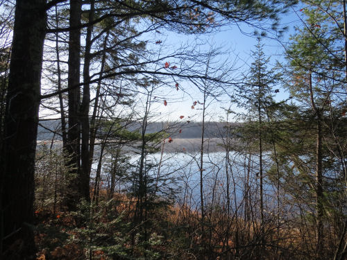
Beaver Lake is very large with an official Forest Service campground. However, that's down a spur, and we weren't taking side trips today if we didn't need to. That meant we didn't get any super clear views of the lake, but this one isn't bad.
Beaver Lake

Next up was Lake Three which is much larger than what you see here. The main body of the lake is beyond that narrow opening.
Lake Three

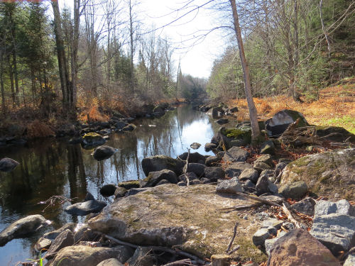
We took a nice rest stop at the Brunsweiler River. This has a major Forest Service Bridge. There were good rocks to sit on too.
Brunsweiler River

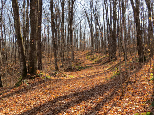
Most of the leaves are down now, but in some places they are still golden brown. They glow in the sunshine. I know this good weather isn't going to last much longer, but I'll sure take it for now.
autumn in woods

The biggest surprise of this area for me has been that I did not remember so many rock formations. This is reminiscent of Ohio in the way it looks, but not in terms of what's actually there. As has been true since Minnesota, these are volcanic rocks that were uncovered by the glaciers. In Ohio, the rocks were the sedimentary layers of the Allegheny Plateau.
Wisonsin rocks

I am incredibly happy to have one technical issue solved that I've been trying to get straightened out for almost two weeks. In fact, that is such an upper that I've almost forgotten how tired I was after hiking today.

Miles today: 16.1. Total miles so far: 3914.4 (over 3900... and you can see what the next 100 will get me to)

See Chequamegon- Marengo

Sunday, October 30, 2022

Chequamegon Day 3 - Marengo - Day 334

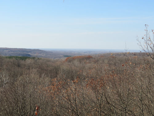
  We are still in the Chequamegon (perhaps meaning "land of the low-lying beaver lodges") National Forest. Today's hike was mostly defined by the Marengo River valley. Here is that valley from one of the overlooks, looking downstream.
Marengo Valley

Where the trail crosses, the Marengo River is not yet very big. Its headwaters are within the forest. However, it becomes a major tributary of the Bad River which flows to Lake Superior.
Marengo River

The valley is a broad glacial valley that scoured out the pre-existing valley of the Mid-Continental Rift. The exposed older volcanic rock appears as surprising cliffs as you approach the river.
Marengo cliffs

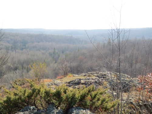
This is the view from another overlook that looks more upstream. It's surprising to find such rugged terrain and views in northern Wisconsin. Yes, we descended into the valley and then climbed out again.
Marengo River valley

Other features today included Porcupine Lake, looking serene in early light as we began hiking.
Porcupine Lake

The Long Mile lookout tower is still standing. There were once 14 fire towers in the Chequamegon. Most are no longer standing. You could see a long way, but the views were into the sun, so I didn't get any good pictures.

Another cultural feature is the remains of a Swedish settlement. There are a few foundations, and some stone piles. This is the foundation of a barn on the Welin Homestead. The area was settled in the 1880s, but I couldn't find anything about how long it lasted. Into the early 1900s for sure. The soil was so marginal that most of the men became loggers, leaving the women to care for the farms during the winter when logging was done.
Swedish Settlement

Even though we had to go down and up the valley, there was less overall elevation gain today than yesterday. We finished in good time and were treated to dinner by another trail couple.

Miles today: 14.1. (plus just over another mile of spurs to get to all the overlooks) Total miles so far: 3898.3.

See Chequamegon Day 2