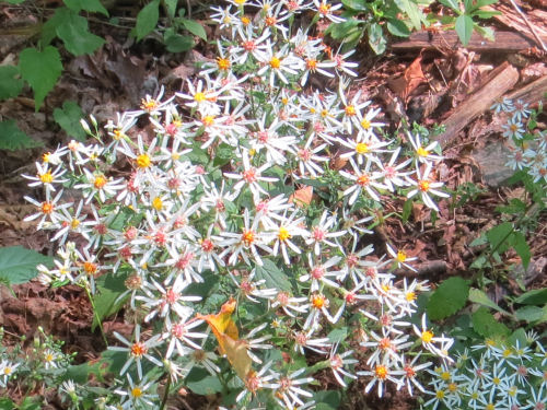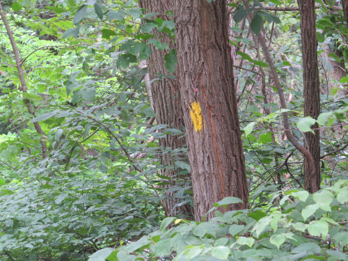
I've previously hiked pieces of this trail with Irene, but I'm not sure I'd done the parts we hiked today which was the southern end of the park.
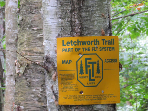
The weather is delightfully cool, however it decided to rain for an hour in the middle of the day. We managed to hit a park pavilion at the right time to eat lunch and stay dry for most of that time, but I did have to put the camera away. This is at the Parade Grounds, a flat open area where a number of divisions of troops mustered for the Civil War.

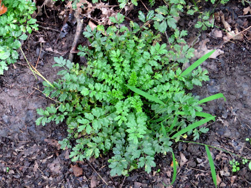
This is just a roadside weed,
The best of the day was taking a spur trail after the sun came back out that followed the edge of the Letchworth Gorge. The rock walls are about 200 feet high.

Here's another view. See the green water at the bottom?

And our destination on that spur was the view of the Middle Falls. The Upper Falls is just visible above that. You can see the Letchworth Bridge spanning the gorge at the top of this picture. This is a new bridge, built in 2017, which replaced an iron bridge that had been in use since 1875. This is an active railroad bridge, operated by Norfolk Southern. The new bridge has been named the Genesee Arch Bridge.

It was an easy hiking day. A lot of the trail was on a former railbed, and was quite level.
Letchworth Branch of the Finger Lakes Trail, southern terminus to Dygert Rd with spurs, 8.7 miles
 | See Letchworth Hogback |




 The route went through Watson Homestead, the site of the very first North Country Trail Conference I ever attended, in 1995. This is property that was in the famiy of Thomas Watson, the founder of IBM. This is the house where he grew up.