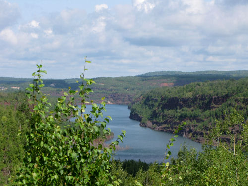
We continued northeast on the Mesabi Trail, August 10, 2009. There were more interpretive signs than along the southern portion.
This lake, about 3 miles long, is actually a pit left from mining. Called the Rouchleau Group, the site covers the locations of fourteen small mines which eventually expanded to create this one canyon. Company "locations" (small towns) were built to house people, then torn down as the mines overcame the land.

This cut through the rocks was hand dug and blasted in 1893 for the Duluth, Missabe Northern and Iron Range Railway.

One of our best people encounters was here. This lady in the wheelchair is pushed by her caretaker 10 miles every single day! They both just enjoy being out and taking advantage of the paved trail.

Just a colorful field of wildflowers- tansy, brown-eyed Susan, yarrow and asters.

Our basecamp was now at West Two Rivers. We had moved there Sunday night, and the place was deserted. Works for us! We like having a campground all to ourselves.

Hiking day number 7, 16.3 miles. Total so far this trip 113.4 miles.
 | See Chisholm to Parkside |
| if you like this blog, click the +1 | |
No comments:
Post a Comment