Here's where I brag just a little tiny bit. If nothing goes wrong in the next five weeks, I will become the first person to have hiked all of the North Country Trail (New York to North Dakota, plus the Vermont extension), the Finger Lakes Trail (New York, Allegany State Park to the Catskills), and the Buckeye Trail (encircles Ohio).
All I have left to do is a little piece of the Buckeye Trail, in red on the map below.

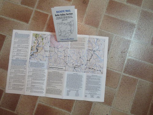
Marie and I are hiking those 63 miles at the end of April. I ordered maps. They came on Saturday. They have a basic map and written point-to-point guide.
But I always like to have more info. Definitely maps from more than one source. I often print out sections from USGS topo maps and mark the route on them. I did that for this hike because it's going to have a lot of topography.

Then, for fun, I like to lay them out connecting the trail line to get a feel for what we are hiking. Never mind the dirty floor. There are more important things to do. Like planning a hike!

This hike is about half trail and half road, but most of the roads are very rural. These will not be the straight, flat roads of northwest Ohio that I hiked last fall.
Can't wait! Let the hike planning commence.
 | See 57 Miles in NW Ohio |
| if you like this blog, click the +1
| |
2 comments:
Wow! I think I should congratulate you alteady! You're so close! Hope you get a huge reward!
Hope the planning goes well and the hike even better.
Post a Comment