A lot of the jackpine that had grown up during the ten years since the last high water event are dying- all the ones right along the boardwalk in the picture above are dead. That's actually a good thing. This marsh is a rather unique wet meadow, and for that to be preserved, it needs to be open. This is a long view away from the boardwalk. Just a few larger dead trees, which the birds love.

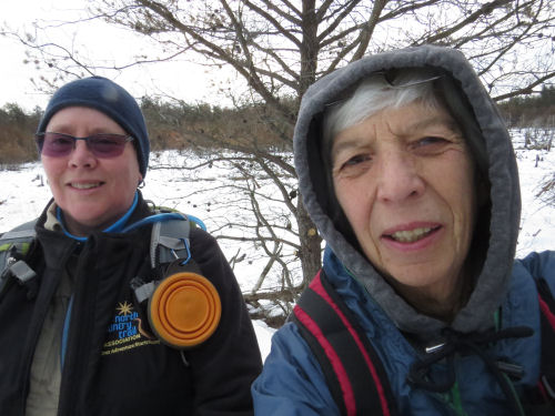
The selfie to prove we were there and sufficiently bundled up. Actually, it was pretty warm- right around freezing.

The most interesting "find" of the day for me was a better understanding of the topography of that section. We walked to Taylor Road (just a two-track) before we turned around. But I had never noticed before how much higher the land is before you reach Taylor Road. Turns out it's forty feet higher. I know this isn't huge, but for all the times I've walked this (and it used to be the section I maintained, so I've walked it lots) I hadn't noticed this. Between Dead Horse Marsh and Taylor Road, I would have told you there were some little hills and a number of wetlands. That is all true. But it turns out that the "little hills" are really all part of one lozenge-shaped hill that is about a mile long (N-S), and half a mile wide. This raised area is (like pretty much everything else here that isn't a relic sand dune) a remnant of the terminal moraine of the last ice age. All those little wetlands are perched (yes that's what they are called) on this hill.
A perched wetland is one that has no natural inlet or outlet. It is only fed by rain and general drainage from the surrounding land. Since wetlands were my specialty topic in grad school, I knew this already. Most of these wetlands are filled with leatherleaf. In fact, this is where I collected the leatherleaf to make the fake mistletoe ball for the cover of Dead Mule Swamp Mistletoe.
I drew a line across this picture because you can't really see what I was trying to show in the photo. The line is the height of land after we turned around. But I had just never really noticed, in the summer with all the greenery, how the trail climbs to the top of that hill. There are numerous high points at 750ish feet (Taylor Road where the trail crosses is about 710), and the trail winds between those and down into little channels between those knobs. Now, I'll think of them as eroded drainage channels.

We ate lunch at the first of those high points, and sat looking away from the trail, down off the north end of that hill. Well, the humans did. Koa mostly looked at our sandwiches!

Greens of the day include some nice moss, and wintergreen adorning a pine cone.


We hiked just a tiny bit over 6 miles. NCT Hike 100 Challenge 2021 is at 63 miles.
North Country Trail, Mason County, MI, Tyndall Road to Taylor Road and back. 6.1 miles
In other news: I got some groceries in anticipation of the big snowstorm we are supposed to get tonight, came home and cooked myself a treat of a hamburger (which I hardly ever do- maybe twice a year), and did a little bit on a couple of projects.
 | See Dead Horse Marsh this spring |
No comments:
Post a Comment