The section I hiked today is not within my chapter's range, but it's really close. I've hiked this piece often enough that it's quite familiar, and it really feels like I am approaching home. I often knew what was just around the next bend. The links below are not to yesterday's post this time, but to the last time I hiked this same section.
This is all along the Manistee River.

I was spotted again by Patty. I can't believe I didn't take a picture, but her husband Dave made me a delicious breakfast sandwich that fueled me for the morning. I guess I was so eager to eat it that I didn't think about photos.
The first section of this is very hilly, but then you get to Highbanks Rollways (where logs used to be rolled down to the river), and after that you are mostly level-ish, but with dips to creeks and gullies. The dips and climbs are mostly under 100 feet, but there are a lot of them. This is the sandy rollway bank beyond the foreground trees.

The Manistee wanders through the landscape like a drunken snake. There are over 30 oxbows on this section.

I'm a lot farther south than I was yesterday. You can actually see that the deciduous trees are greening up.
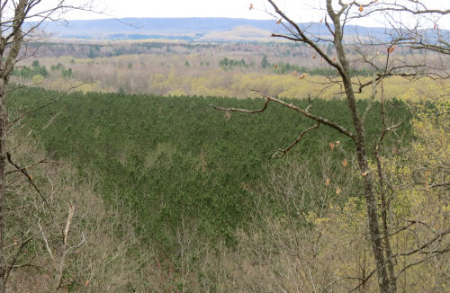
One photo I wanted, but the camera couldn't see it, was a mate to yesterday's with the "Christmas lights" in the trees. Today, the lights were green where the small beech trees were just leafing out. Maybe if it had been sunny the light would have caught the bright green. But it wasn't sunny. And it wasn't 50 degrees. In fact, it kept trying to snow! I think tomorrow is actually going to be warm. I won't complain about that.
This is one of my favorite markers along the NCT. It's one of 33 markers that have been placed along the route of the Cadillac to Traverse City Indian Trail. There is some evidence this was in use as early as 700 BC. You can't hike the trail (most is now on private property), but you can visit the markers, almost all of them have been placed where there is vehicle access, and read interpretive info about the sites. I hope to do this one of these days.

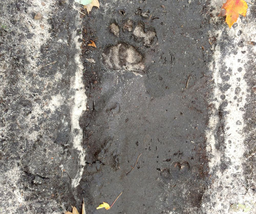
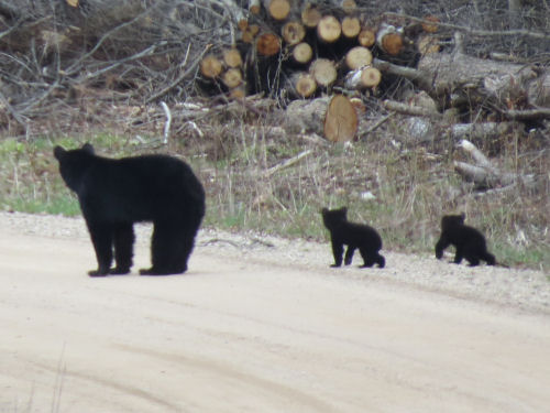
And I can finally say that I've seen a bear on the NCT in Michigan. Granted, it was on a road walk, but I think the two babies should count for points. Mama saw me, but they were pretty far away. She just continued across the road while I waited so as not to alarm her.
The day ended with a chat with an enthusiastic young man who was hoping to catch some suckers for his dinner. He said the DNR had just released 62,000 baby brown trout in the river.
Despite the long miles and the hills, my joints are surprisingly OK.
Miles today: 12.8. Total miles so far: 4632.6. Miles to go- under 200!
Baxter Bridge to Harvey Bridge, Wexford County, MI
 | See How Many Oxbows?
See Still Along the Manistee |




 A rainbow welcomed me that first evening.
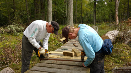
 Next morning, I drove to town and met the other people who also came to volunteer. Of course, I knew Mary, but I also knew one other woman who came. Mary's husband Bill was there as well, but he isn't able to do the physical work any more.
 Going back to the campsite that afternoon, a mother bear and three cubs crossed the road in front of us. I was only fast enough with the camera to catch the last cub scooting under the guardrail.
 Mary and I went out again the next morning. Our goal was to follow a snowmobile route which would connect the trail we built on Saturday with the next road. This is not ideal, but for right now, our trail has been given permission to use that established route. We crossed Whiskey Brook near where we began our walk. Despite many junctions, we managed to make all the correct decisions, and connected with the work we'd already done. Mary took GPS readings, and we flagged it with tape. Hopefully we'll soon have permission to put up the blue blazes.
 When we got back to Oak Mountain, we did do some more of the blazing. In most places, the NCT blazes are painted. However, within the Adirondacks, they requested the nail-up style, so that is what is being used. this four-mile reroute which can now be followed eliminates a seven mile road walk!
 After Mary and Bill left, I had a mission. Two of them. I wanted to get a few pictures that were "real" Adirondacks. This scenic view comes cheaply, as it's seen from a roadside turnout. You don't have to work to be rewarded. But it's pretty neat anyway. This is not the High Peaks, but is a view to the southeast. This panorama made so small isn't nearly as spectacular as it is in real life.
 And the other part of my mission was to find one of my best friends. He and his wife live only 20 miles from where we were working, but I hadn't been able to get in touch with him. I decided to just drive there. I knew he wasn't in the same house as the last time I visited, but I had hopes that I could locate him. And I did! This is Paul, one of my very best friends in the world. In fact, he introduced me to the Adirondack Mountains, 55 years ago. Did you ever have a friend that just resonates with your soul? Nothing romantic between us, ever. But we just seem to "know" each other. We had a great visit, prayed together, and they fed me. What a perfect ending to this Adirondack visit. I suppose we look a little older than that week we climbed Haystack and Skylight so long ago, but we don't care.
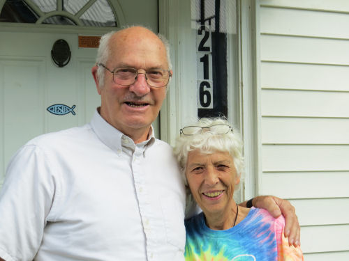 Now, I'm beginning to work my way back west. I'm with Irene again tonight.