Today, Ellen and I had an EXCELLENT adventure. We climbed the highest hill in Michigan's Lower Peninsula! I'm going to just report the bare bones facts in this post, so that others can use it as a reference. Tomorrow I'll show you more of the fun stuff. We had a wonderful time. First day above 70 degrees this year, blue sky, a great walk with a friend... what more could one want?
The first challenge was to find the roads that lead to the ascent. We used the report from
Matt Dalman to help us. His report is quite good, and was edited just a year ago, but there are a few tweaks I'm adding.
To give a general sense of the topography in the surrounding area, and the location of this peak, here's a locator for the hill, about 3/4 of the way between Cadillac and Mesick, within the Manistee National Forest, along M-115. You can click to enlarge the map.

Zooming in more, I've labeled the roads with the numbers/names you'll actually find, on Carsonite posts for the Forest Roads. In the summer, you can drive to the corner of FR 5007 and the trailhead to the ascent. There was still an awful lot of slushy snow today on FR 5007, so we hiked from the corner of FRs 9784 and 5007. This map can also be clicked to enlarge.

Yellow is a driving route. Green is a closed road that you follow on foot to get to the top of the peak. The blue dotted line is another old road that you can accidentally begin to follow down on your return to your car. Pay attention!
Driving Directions:
You need to get to 24 Road. If you are coming from M-115, turn south on paved 21 1/2 Road and go 0.4 miles. Make a right turn on dirt 24 Road. If you are coming from the south on M-37, you can save some miles by turning east on 30 Road, going through the village of Harrietta, and then turning north on 21 1/2 Road. In about 3 miles you will make a left on dirt 24 Road. These roads are clearly marked. After this it can get a bit dicey, although we did find FR (Forest Road) number posts somewhere on each section of road.
Travel west on 24 Road for 1.2 miles to a T. Take a right (this is 19 1/2 Road). There is a cute little cabin on the NE corner. In just 0.1 miles you will take a left on Michael Dr, which is marked FR 9785. Almost immediately the road forks. Take the right fork. It doesn't look like the main road because there is a stop sign for traffic coming in, but it is the road you want. (If you go left you are on the bottom leg of the oval loop.) Follow this for 1.9 miles till you angle in to a T. This is where you meet FR 9784, and you need to turn left. There is also a small Mesick School Forest sign at this corner. Go 0.6 mile to a fork. Take the right fork on FR 5007. (We parked here, and walked the rest of the way. This is probably driveable in summer, but the loose sand could be deep. There were also some small trees that would need to be cut out,one bigger than the saw I had with me, but someone will probably trim those in the next few weeks.)
Here's one detail that is currently incorrect in Matt's account. There is no longer a "road closed" sign on FR 5007. Stay on FR 5007 and climb a saddle between two hills and then drop down slightly to another T. A vehicle could turn left and continue on FR 5007. The fork to the right is the "trailhead." All this consists of is space to park and a Carsonite post that says "No Motor Vehicles" by a rock and a big dirt pile.

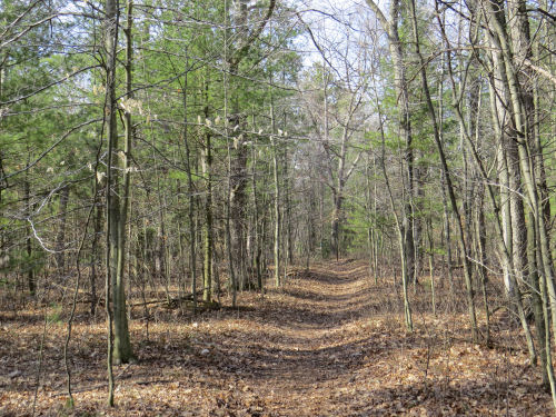
The old road to the top has been completely barricaded, but this makes it really easy to follow, just don't bother to walk in the road. The route is filled all the way to the ridge with sand piles. Along the way there are two old 4x4 posts at one point. Just above these, the blue dotted road angles back and descends to the left. As you near the top, you'll see a large fallen tree parallel with the ridge.

When you reach the ridge, turn left, and you'll find the road extending along the ridge, and no more sand piles. You will see the top of the hill just ahead of you. At the top are a benchmark (you can also enlarge this image), and footers for an old fire tower.


There is barely a view from this location. There are a couple of slightly better views if you follow the ridge to the right at the "top" of the road. Follow the ridge around a bowl of valleys to the north and there are a couple of almost views, at least when the leaves are down. Anything you see from this peak and environs is to the north, and I believe the ridge that is visible is the bluff on the north side of the Manistee River.
The summit is 1706 feet above sea level. Total elevation change to hike from the trailhead to the summit is about 120 feet in 0.5 mile. Not too tough...
We made it!

Be careful on the descent. If you follow the west side of the old road it is almost inevitable that you would accidentally turn down the road shown with a blue dotted line going west. However, it descends more gradually down a valley, and does not have the sand piles in it, so if you are paying attention you will quickly realize that you aren't on the right road.
I'm not sure if any of these Forest Roads are plowed in winter. Certainly not 5007, and I have my doubts about 9784 and 9785.
 | |
| if you like this blog, click the +1 or 
|


